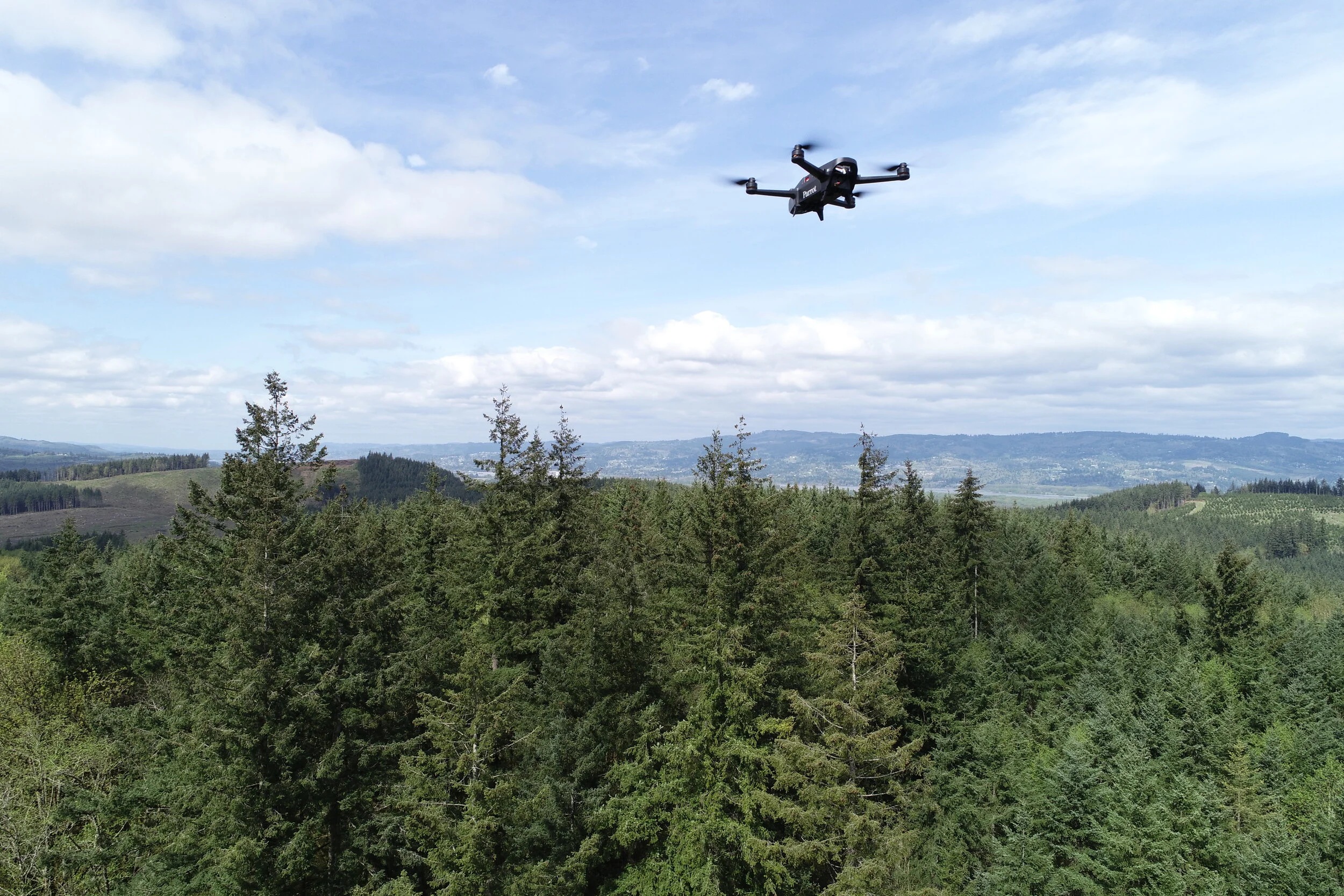

Flight Support:
When you need a perspective that just can’t be obtained from the ground we are here to help. We will dispatch the right crew with the best aircraft to meet the mission and get you the real-time data you need. Our professionals will work side by side to provide the data you need to make decisions looking at the issue from every angle. We can provide you everything from a live data stream from our infrared sensor to a situation map only moments old processed and delivered to you right when you need it.
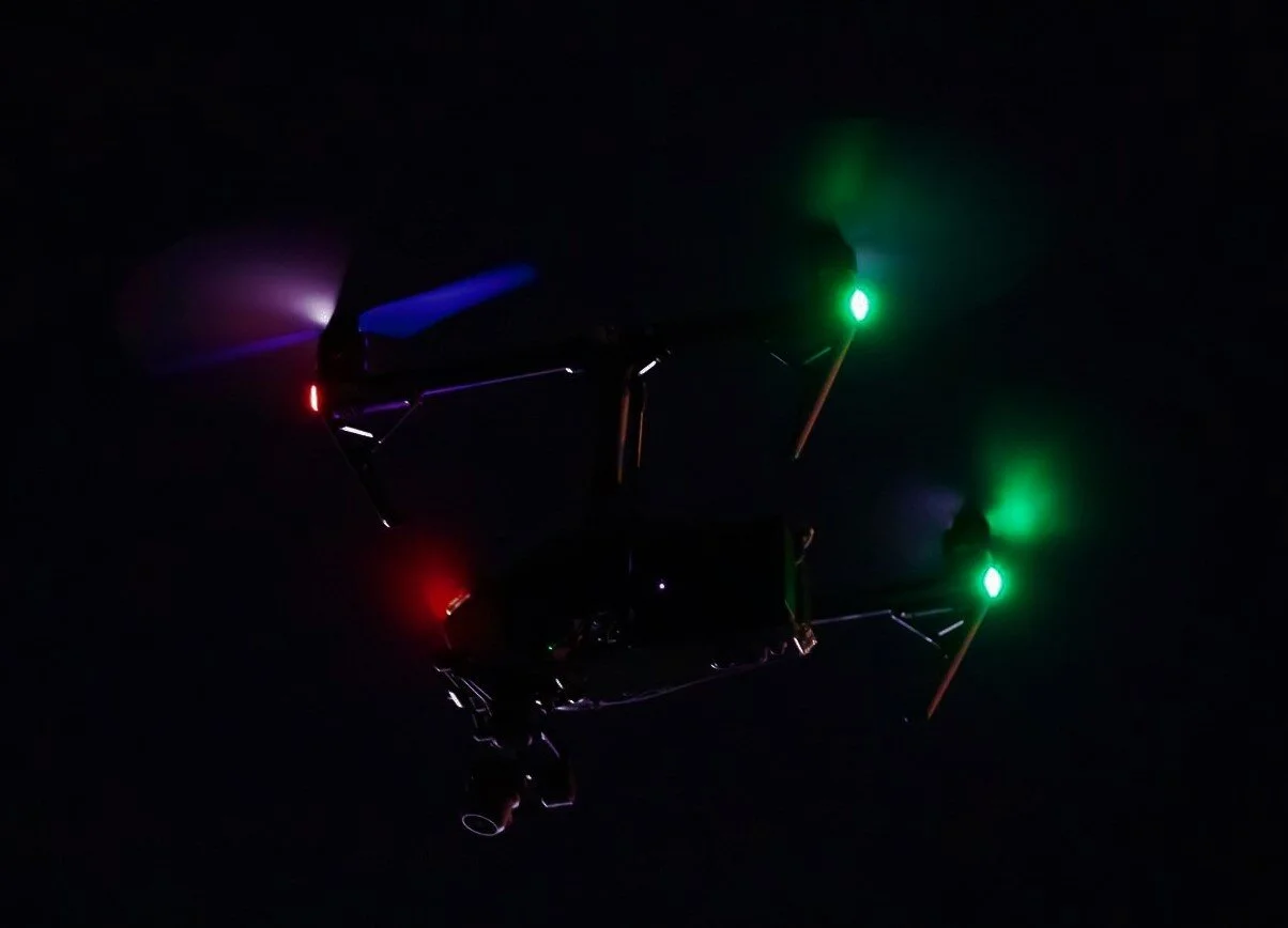
Night Operations:
Need support after the sun goes down? We hold an FAA Part 107.29 waiver and are authorized to operate at night, but more importantly we have the knowledge and experience to execute safely and efficiently. We have been operating after civil twilight for years. Let us bring that experience to your operation.
Controlled Airspace and SMS:
We understand the every operation, at every altitude, requires the use of proper safety management systems. Each flight is part of the national airspace, and we know how to operate safely and professionally in the national airspace system. We have years of experience operating in and around controlled air. We know ongoing airspace deconfliction is critical to operational safety. As a part of every mission real-time monitoring of Automatic Dependent Surveillance- Broadcast (ADS-B) is conducted from arrival to departure.
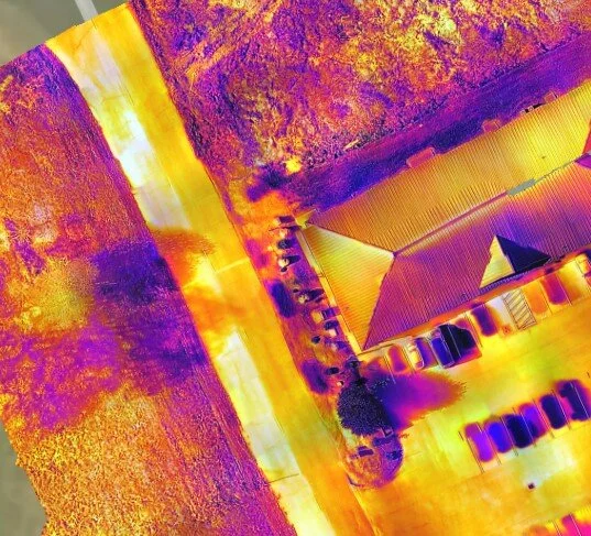
DATA PROCESSING:
Our aerial data capture can produce 2D Orthomosiacs, 3D Point Clouds, DSMs, DTMs, and so much more. Combined with your surveyed control points, and each added service can be brought to scale on your reference coordinate system of choice. Each flight operation is executed by an FAA Certified Remote Pilot, and processed by a certified Pix4D user.
Leverage our aerial experience to help illustrate your on site expertise!
Supplemental Imagery:
From highlighting your project or property with amazing imagery to a bird’s eye 4K video. Let us add a new perspective!